In this article, you will find a growing collection of China maps detailing cities, regions and the entire country! We have linked all kinds of maps of China for you, including detailed maps of provinces and cities which you can download and print.
China Mike strives to provide a large collection of map so you can have an easy going and stress-free tour of China. You can find detailed maps of the major cities like Beijing, Shanghai, Sahenzhen, Chengdu, Guangzhou, Hong Kong; maps of all provinces like Sichuan, Guangdong, Jiangsu, Macau, Tibet, Shangdong; and travel maps of the famous tourist attractions like the Great Wall of China, Mount Huangshan, Li River in Guilin, Three Gorges, etc.
Through this article, we hope to continually upload and update these maps and other information in order to help you plan your trip to China, as well as to make living in China overall better and easier.

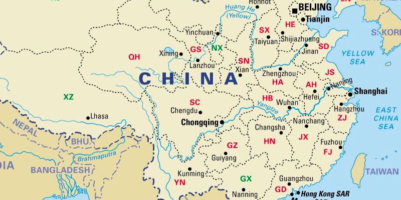
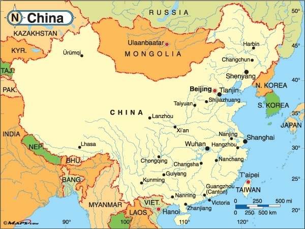
General China Maps
Below are some of the general China maps that we have made available to you! You can click on each link to be directed to the page and be able to download and print these maps!
Specific China City Maps
Below are some maps specific to the major city of China. Keep in mind that these maps change on a constant basis so they may not be the most up-to-date, but we do our best to keep them updated!

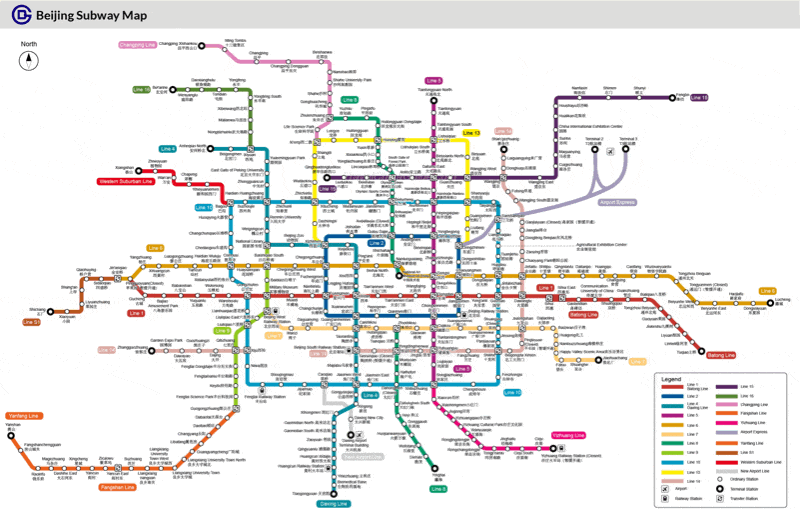
Beijing Maps
To help you have a better understanding about Beijing, and to make your trip to Beijing much easier, we have collected some very useful maps. These include subway maps, Beijing city map, and the surrounding cities, all of which are downloadable and printable.